🇬🇧 United Kingdom · Frontend Developer
Geographic Visualization Platform
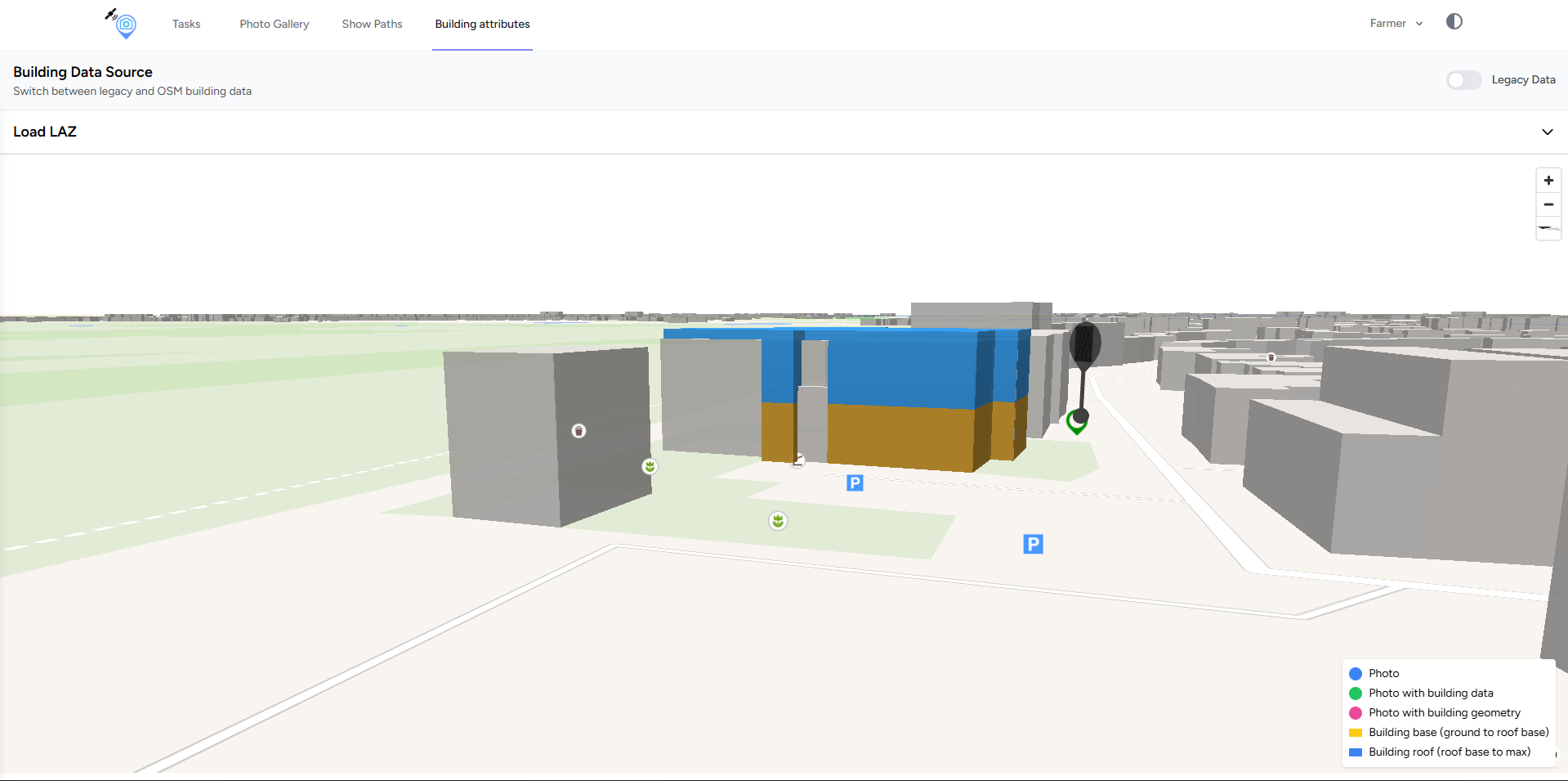
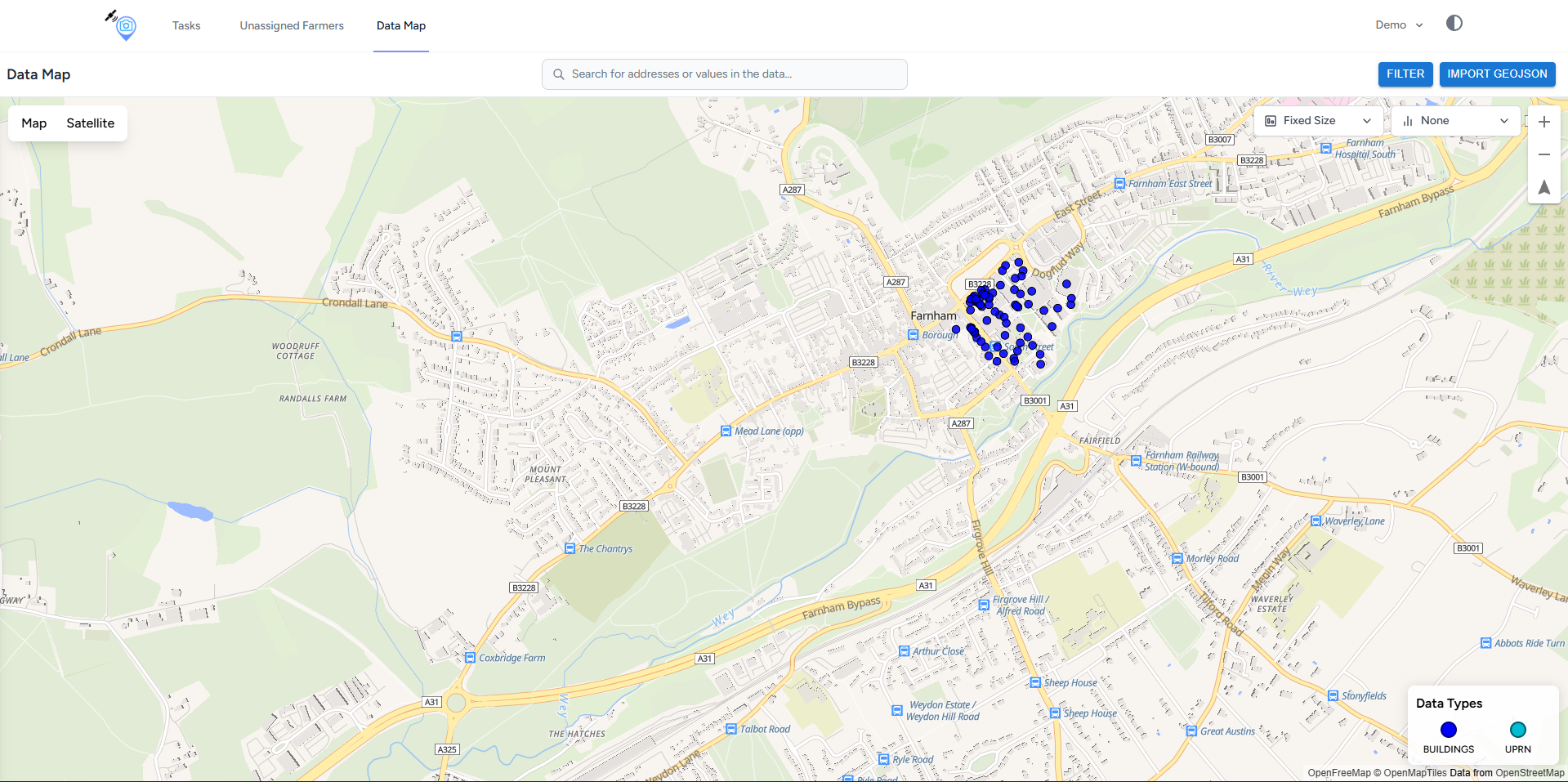
Interactive 3D building visualization with Deck.gl and coordinate mapping for spatial data, plus new frontend features and fixes on an existing platform.
🇬🇧 United Kingdom
What I built and solved
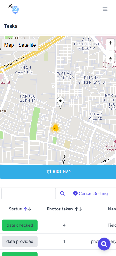
- ↳Developed new frontend features and fixed existing issues
- ↳Built interactive 3D building visualization with Deck.gl
- ↳Implemented coordinate mapping for spatial visualization
How I approached it
- 01Requirement & business flow
- 02Database & API design
- 03Frontend & backend build
- 04Testing & validation
- 05Deployment & monitoring
Placeholder
Design notes
Design walkthrough, wireframes and UI decisions for this project are being written up. Screenshots above are placeholders until the real captures are added.